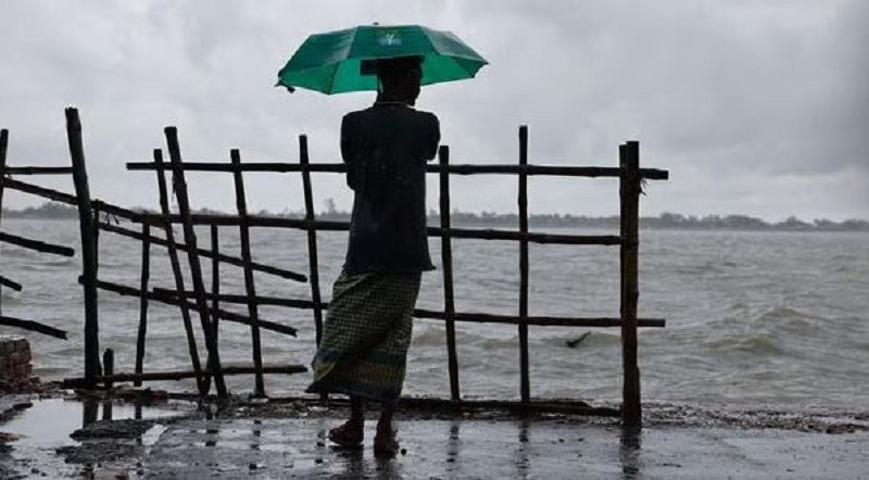
Cyclonic storm 'Remal' to reach Bengal coast by Sunday midnight
The IMD has forecast that the cyclone will cause rainfall and strong winds in West Bengal, Tripura, some other parts of northeastern states, and coastal Bangladesh. Read further on Dynamite News:

New Delhi: Union Minister of Earth Sciences Kiren Rijiju on Sunday shared an update on Severe Cyclonic storm 'Remal', which is likely to make landfall between Bangladesh and adjoining West Bengal coasts by midnight of Sunday with maximum sustained wind speed of 110-120 kilometres per hour gusting to 135 kmph, according to the Met department.
"The Severe Cyclonic Storm "Remal" (pronounced as "Re-Mal") over North Bay of Bengal moved nearly northwards, with a speed of 07 kmph during past 06 hours and lay centered at 0830 hrs IST of today, the 26th May, 2024 over North Bay of Bengal near latitude 19.8°N and longitude 89.3°E about 260 km south-southwest of Khepupara (Bangladesh), 310 km south of Mongla (Bangladesh), 240 km south-southeast of Sagar Islands (West Bengal) and 280 km south-southeast of Canning (West Bengal)," Rijiju said in a post on 'X'.
The cyclone has a maximum wind speed of 90-100 kmph gusting to 110 kmph and is expected to intensify further.
Also Read |
Pushkar Singh Dhami, Mamata Banerjee, Rahul Gandhi, Kejriwal among politicians who lost Twitter blue tick
"Currently maximum sustained wind speed of 90-100 kmph gusting to 110 kmph prevails around the cyclone centre. It is very likely to continue to move nearly northwards, intensify further and cross Bangladesh and adjoining West Bengal coasts between Sagar Island and Khepupara, close to southwest of Mongla (Bangladesh) by midnight of today, the 26th May 2024 as a Severe Cyclonic Storm with maximum sustained wind speed of 110-120 kmph gusting to 135 kmph," Rijiju said.
Meanwhile, the India Meteorological Department has forecast that the cyclone will cause rainfall and strong winds in West Bengal, coastal Bangladesh, Tripura, and some other parts of northeastern states.
A low-pressure area that was first observed on May 22 in the Bay of Bengal has intensified into a more depressive system, now located in the North Bay of Bengal.
Also Read |
Delhi shivers at 3.6 degree Celsius, lowest minimum temperature this season; Fog delays flights, trains
The primary regions affected are West Bengal, Coastal Bangladesh, Tripura and some other parts of north-eastern states. Residents in these areas, as well as in the neighbouring state of Tripura, are urged to brace for adverse weather conditions starting from May 26. (ANI)
 Dynamite News